Spring vs. Stream vs. Seep: How to Read Water Features on Hiking Trails
You hear water before you see it: a soft ticking under moss, a bright chatter across stones, or a wet patch of grass where the trail turns muddy. All three can be water on a hike, but they are not the same feature. A spring, a stream, and a seep tell different stories about the ground under your boots. Once you can tell them apart, the landscape becomes easier to read, and your decisions about route, rest stops, and water treatment get sharper.
The three shapes of water on a trail
Water on a trail usually shows up in one of three forms. The differences are not academic; each one affects how the ground behaves, where animals move, and how you should cross or collect water.
- Spring: a point where groundwater reaches the surface. The flow often starts small and concentrated: a bubble of clear water in gravel, a thread of current under a rock, or a pool no wider than a dinner plate. Springs tend to run cool and steady, even in dry weather.
- Stream: water that has gathered into a channel. It has a direction, a bed, and banks. The flow may be a metre wide or twenty, permanent or seasonal, but the key is the channel: water is going somewhere.
- Seep: diffuse groundwater reaching the surface over a patch of ground rather than at one point. There is no clear channel at first, just wet soil, sedges, moss, and a slow shine on the surface. A seep is less a faucet than a damp sponge.
A spring is a point, a seep is a patch, a stream is a line.
How to tell a spring from a seep
The easiest test is to stop and look at the shape of the wet ground. A spring usually has a source you can point to: a small opening, a cluster of stones with water welling between them, or a pool with a faint boil. A seep has an edge, not a source. You will see a wet patch spreading through grass or leaf litter, often with brighter green plants and a softer footfall.
Try this sequence when you are unsure:
- Stand still for a full minute. Look for movement. A spring may show a tiny upwelling; a seep may only glisten.
- Look uphill and sideways. A spring often sits where a slope meets a bench or cliff base; a seep often follows a broad contour or a band of clay.
- Trace the water downhill with your eyes. If it quickly gathers into a thread of current, you are probably at the head of a stream. If it stays spread out and spongy, it is a seep.
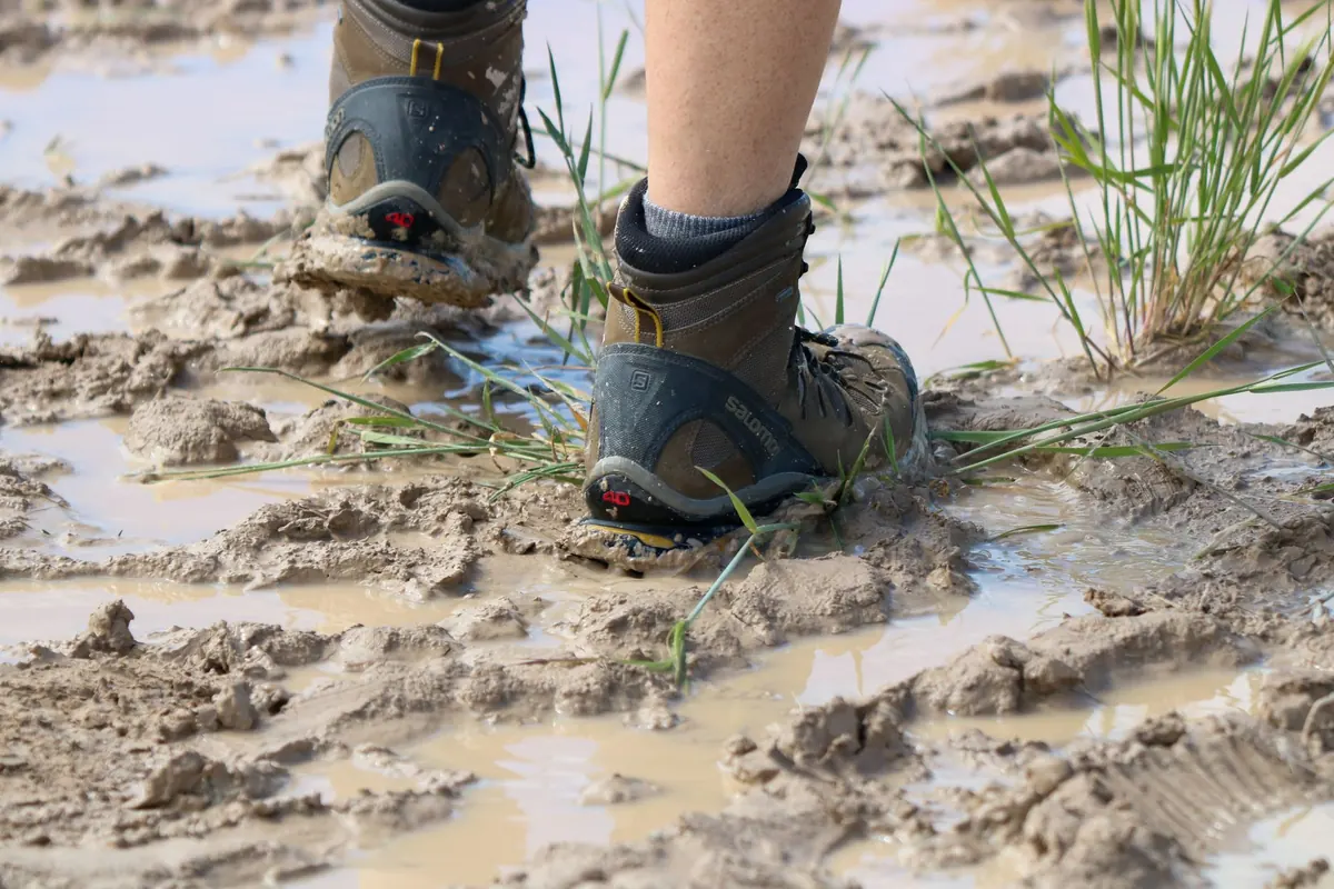
Neither feature is dangerous by itself, but both make the ground slippery and fragile. Step on rock or durable ground when you can, and keep your boots off the saturated moss. That is not just etiquette; compacting a seep can change how water moves through the soil and leave the trail muddier for everyone who follows.
Reading streams: direction, season, and crossing choices
Once water is in a channel, read it like a line on the map. The current shows direction; riffles show shallows; dark glassy water often shows depth. On a hot afternoon, a narrow stream with exposed rocks may be the safest place to cool off, but it is also where slippery algae grows.
Before you cross, use a simple check:
- Look upstream and downstream for a wider, shallower line of riffles. Crossing at a braid or gravel bar is usually easier than at a deep bend.
- Unbuckle your pack’s sternum strap and waist belt so you can shed the pack if you fall.
- Face upstream and use a stick or trekking pole for a third contact point. Move one foot at a time, shuffling rather than stepping high.
- If the water is above your knee, moving fast, or carrying silt and branches, turn around. A shallow-looking stream can be stronger than it looks, especially after rain.
Streams also shift with season. A dry channel of rounded stones is still a stream; it may run after snowmelt or storms. Treat dry gullies with respect in canyon country, where a distant storm can send water through a channel you crossed an hour earlier.
What each feature says about wildlife
Water is a gathering point. A spring in a dry ridge often draws deer, birds, and insects because it is reliable and small. You may find tracks pressed into the mud around it, feathers caught on wet grass, or a cluster of butterflies taking minerals from damp soil. Keep your distance and watch from the side; animals need to drink without being pushed off their route.
Streams work as corridors. Their banks carry seeds, insects, and small mammals, and the water itself supports fish, amphibians, and birds that feed along the edge. Seeps are quieter but just as important: they stay wet long after rain, giving frogs, salamanders, and invertebrates a place to breed and shelter. If you see egg masses or tiny larvae in a seep, do not stir the water or move the stones. A few steps back gives you a better view and leaves the nursery intact.
Navigation clues and map-reading habits
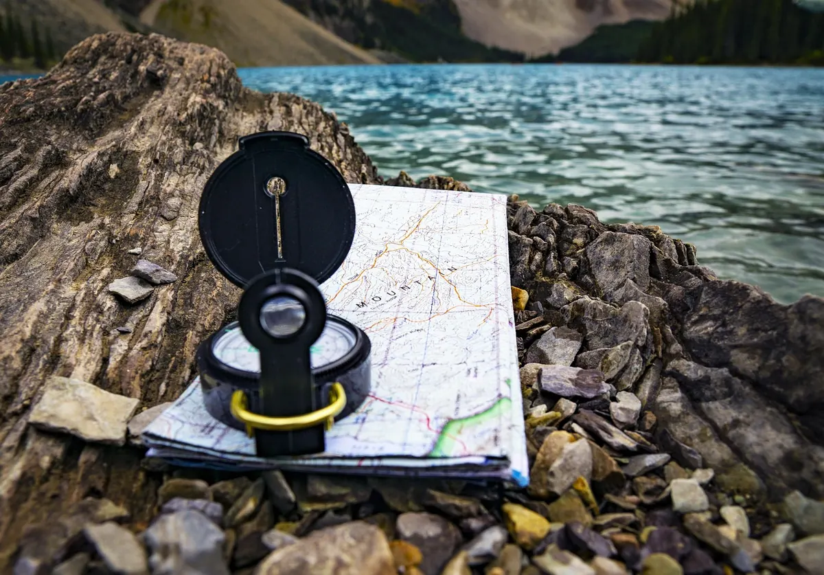
Water features are some of the best handrails in the hills, provided you know what kind of water you are looking at. A stream on a topographic map is usually a blue line. A spring may be marked with a symbol or a label, and a seep may not appear at all. That gap matters. If your route depends on a tiny spring for a refill, have a backup plan; small springs can dry up, get piped, or turn out to be a seep too shallow to collect from.
Use water features to confirm your position rather than to create false confidence. A stream junction, a spring below a cliff, or a wet meadow on a contour line can tell you where you are. But do not count on every blue line being a flowing creek, and do not assume a spring marked on a map is easy to reach. Check the contour lines around it: a spring on a steep slope may sit in a tangle of vegetation, while a stream in a flat valley may spread into a maze of braids.
When you stop for a map check, mark the feature in your memory or on your map. Note the side of the trail, the direction of flow, and whether it is a point or a patch. That small habit turns a random puddle into a landmark.
Safety and leave-no-trace at water features
Water features deserve a cautious kind of respect. The banks are often the slickest part of the trail: moss on rock, clay under leaves, and a soft edge that looks solid until you step on it. Test with a pole before you commit your weight. Keep children and dogs away from the lip of a spring or the top of a waterfall, where wet stone is unpredictable.
Treat any backcountry water before drinking it. Boiling, filtering, or chemical treatment can reduce the risk of pathogens; follow the manufacturer’s instructions and local advice, and if you are unsure about a source, do not drink from it. A spring that looks crystal clear can still carry contamination from animals or upstream land use. For health concerns, ask a professional rather than guessing.
Leave the feature as you found it. Do not build dams in a stream, dig out a spring, or move rocks to make a pool. Do not soap up in a seep or wash dishes directly in the water. Collect water downstream or in a container and carry it away from the source. On busy trails, these small choices are what keep the water clean for the next hiker and for the animals that depend on it.
A short field routine
Next time you meet water on the trail, run through this simple routine:
- Stop and listen. Water you can hear but not see may be a seep under vegetation or a stream in a gully.
- Find the source. Point to where the water emerges. If you can, it is a spring. If it spreads, it is a seep. If it has a channel, it is a stream.
- Check the flow. Is it steady, seasonal, or stagnant? Look upstream for signs of recent rain or disturbance.
- Look for life. Tracks, insects, algae, and water plants tell you how long the water has been there.
- Choose your line. Cross at riffles, step on rock, and keep your distance from fragile banks.
- Mark it on the map. Note the trail side and direction of flow before you move on.
Reading water is not a party trick. It is a way to pay attention. A spring tells you where the ground is breathing; a stream tells you where the land is draining; a seep tells you where the mountain is holding on to moisture. Learn those three voices, and the trail will give you more information than any single signpost.
Photo: Alexsios / Pixabay