How to Spot a Reliable Spring on a Map Before You Hike
A small blue dot on a topographic map has a way of looking like a promise. You are planning a long ridge walk, the day is warming up, and there it is: a spring halfway along the route, exactly where you want a refill. Then you arrive to find a damp patch of grass and a pipe that stopped running in June. The map was not wrong, exactly. It recorded a feature that exists, without saying how much water it holds in August.
Reading that blue dot more carefully is one of the most useful skills in trip planning. It changes how much water you carry, where you plan lunch, and whether a route makes sense on a hot day. You stop treating springs as taps and start treating them as probabilities. The good news is that most of what you need is already printed on the sheet in front of you, in the symbols, the contours, and even the place names — you just have to know what you are looking at.
Start With the Symbol Itself
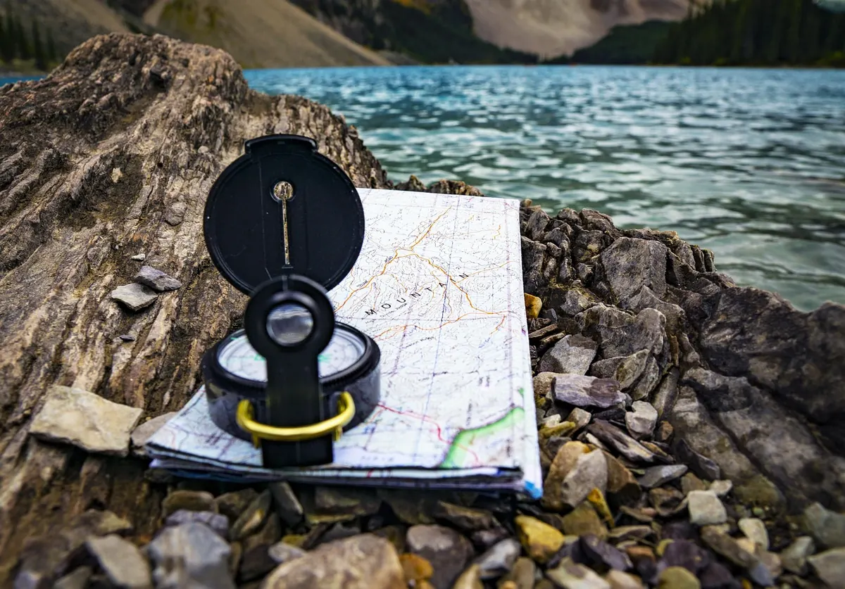
Not all water features are drawn the same way, and the differences matter more than most hikers realise. A quick comparison of symbols will tell you a lot before you even look at the terrain.
- Solid blue lines usually indicate perennial streams — water expected year-round. Even these can dry up in a bad season, but they are the strongest bet on the map.
- Dashed or dotted blue lines mark intermittent streams. They flow after rain or snowmelt and are often bone dry by midsummer. If the only water on your route is shown this way, plan as though it will not be there.
- Spring symbols — often a small circle, a blue dot, or the word "Spring" — mark a point where groundwater reaches the surface. Some maps distinguish springs from waterholes, tanks, and wells, which are entirely different propositions. A stock tank may be a concrete pit with a lid; a well may need a pump you do not have.
- Blue marsh or swamp shading suggests wet ground rather than drinkable flow. Useful to know, but not a refill.
If your map has a legend, read it. Symbol conventions vary between publishers and countries, and a feature that looks like a reliable spring on one sheet can be a seasonal seep on another.
Read the Terrain Around the Spring
The contour lines tell you more about reliability than the dot ever will. A spring is not a random event — it is groundwater meeting the surface, and that meeting happens in predictable places.
Elevation and Aspect
Higher springs are colder, and in many ranges they hold out longer into the season because they are fed by slow-melting snow. A spring at 2,400 metres is a better gamble in late summer than one at 900 metres, all else being equal. Aspect matters too: a spring on a shaded north-facing slope loses far less water to evaporation than one baking on a sun-facing hillside. If you are choosing between two dots, the one tucked into a cool, shaded drainage is usually the safer bet.
Watch for springs drawn high on a slope with no obvious catchment above them. Groundwater has to come from somewhere; if the terrain uphill is a bare, dry ridge, the spring may be tiny and short-lived.
Drainage, Slopes and Geology
Look at where the spring sits in the drainage pattern. A spring that marks the head of a well-defined gully, with a solid blue stream continuing below it, is a much stronger indicator than an isolated dot on a flat bench. The stream below is evidence that water actually flows — someone surveyed it as a continuous feature.
The shape of the ground matters as well. Springs commonly appear where a permeable layer meets an impermeable one, often at a break in slope or where a gully cuts into a hillside. On the map, that shows up as a sharp change in contour spacing. A spring marked right at the base of a steep slope or at the head of a ravine is following the logic of the landscape. One marked in the middle of a uniform gentle slope is more of a question mark.
Treat a spring symbol as a location, not a volume. The map tells you where water has been seen; it does not tell you how much, or when.
Read the Names and the Dates
Clues in Place Names
Cartographers often label springs with a name that carries history. "Cottonwood Spring" or "Willow Spring" suggests a dependable source — those trees need reliable water. Names like "Dry Spring," "Mud Spring," "Bitter Spring," or "Salt Spring" are warnings written in advance. "Tank" or "Well" in a name tells you the water is stored or extracted rather than flowing. Local names are worth a search before you go; someone has usually written about whether that particular spring runs in summer.
How Old Is the Survey?
A map is a snapshot. Check the survey date, and check when it was last revised. A spring recorded in 1968 may have been piped, diverted, damaged by a fire, or simply dried up as the water table changed. Older maps are not useless — they often show features newer ones omit — but they should be treated as a starting point rather than a guarantee.
Cross-Check Before You Commit
The map is one source; use at least two more.
- Trip reports are gold. Search the spring name plus the year and season. "Dry in September" from two years ago is worth more than any symbol.
- Land manager websites and ranger stations often publish current water availability, especially in arid regions where it is a safety issue.
- Satellite imagery can show green vegetation along a drainage, which hints at moisture — though be careful, since a green line in April may be dust in August.
- Recent photos from hiking forums or mapping apps can confirm whether a pipe is flowing or a tank is full.
What the Map Cannot Tell You
Even a perfectly read map leaves gaps, and it is worth being honest about them. It cannot tell you whether the spring has been fenced off, whether a cattle tank upstream has affected water quality, whether the flow has been diverted for irrigation, or whether a wildfire has stripped the catchment and changed the runoff for years. It also cannot tell you whether the water is safe to drink. Any surface source should be filtered, boiled, or chemically treated, and in agricultural areas you should assume contamination is possible. Finally, the map cannot tell you how much you personally will need — that depends on heat, effort, and your own body, not on the blue dot.
Building a Water Plan Around Uncertain Springs
The practical answer is to plan for failure. Treat every spring as a bonus rather than a supply, and build a route that still works if it is dry.
- Identify your must-have sources. Mark the springs you cannot do without and the ones that are merely convenient. Be strict about which is which.
- Carry enough to reach the next certain source. That may mean a longer carry than feels comfortable, but it removes the gamble.
- Plan a dry camp. Assume your overnight spot has no water and carry it in. This single habit solves most water anxiety.
- Set a decision point. Decide in advance where you will turn back or reroute if a spring is dry, so you are not making that call while thirsty and tired.
- Note the time of day. Small springs often flow better in the morning, before the day's heat and use have taken their toll.
- Leave a margin. If a section is long and hot, add a litre beyond your calculation. It is cheap insurance.
None of this takes long. A few minutes with the legend, the contours, and a search bar will tell you more about a spring than the dot ever could on its own. Do it often enough and you will develop a feel for which blue marks on a map are real promises and which are just the memory of water. The ridge walk stays the same — but you arrive at that damp patch of grass with a full bottle, a plan, and no disappointment at all.
Photo: JoshuaWoroniecki / Pixabay